You are here
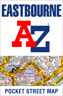
Back to topEastbourne A-Z Pocket Street Map (Paperback)
Email or call for price.
Out of Print
Description
This up-to-date detailed A-Z street map includes all of the 1,500 streets in and around Eastbourne. As well as the Eastbourne Pier the other areas covered are Birling Gap, Beachy Head, Hailsham, Polegate, Pevensey Bay, Willingdon, Langney, East Dean and Friston.The large scale 1 mile to 4.5 inch street map includes the following;• Places of interest• Postcode districts, one-way streets and car parks• Index to streets, places of interest, place and area names, park and ride sites, national rail stations, hospitals and hospicesThe perfect reference map for finding your way around Eastbourne.
About the Author
Britain’s leading street map publisher providing cartographic services, digital data products and paper mapping publications (including Street Atlases, Visitors Guides, Great Britain Road Atlases and The Adventure Atlas).