You are here
Back to topHistoric Maps and Views of Boston: 24 Frameable Maps and Views (Paperback)
$19.95
Hard to Find
Description
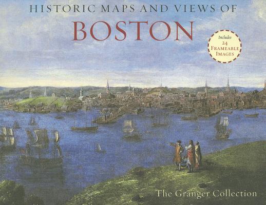
Historic Maps and Views of Boston contains< twenty-four historic maps and views of Boston and its environs? Dating from the 1600s through the present? Ready for framing in a custom format or in a standard 11? x 14? frame. This stunning and fascinating selection of images from The Granger Collection includes the first surviving map of Boston (and also the first to be printed in America), an engraving by Paul Revere of the British landing in 1768, a bird's-eye view of the City, color photographs of the swan boats in the Public Garden, and stunning oil paintings of Boston Harbor and Columbus Avenue. Each image's original printing information is provided, as well as additional information that places it in historic context and further illuminates its qualities. Each image is exquisitely reproduced to show off its color and detail.
The perfect gift for lovers of travel, history, or art.
About the Author
For nearly a half-century as the most convenient and reliable source for the history of the world in pictures, The Granger Collection holds millions of images spanning more than 25,000 years of world history, from before the Stone Age to the dawn of the Space Age. The Granger Collection specializes in the history of people, places, things, and events represented in a variety of mediums including photographs, paintings, engravings, lithographs, and more.