You are here
Back to topMoroccan Atlas - The Trekking Guide: Planning, Places to Stay, Places to Eat; 44 Trail Maps and 10 Town Plans; Includes Marrakech City Guide (Paperback)
$22.95
Special Order
Description
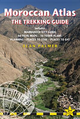
Stretching 1200 miles from the Atlantic port of Agadir east to Tunisia the Atlas form one of the world's great trekking ranges. The High Atlas region in central Morocco is the most dramatic and beautiful section of the entire range. Includes full practical details - getting to Morocco, town guides and maps to Marrakech, Ouarzazate and seven other gateway towns. Routes covered on 44 detailed walking maps in the proven Trailblazer style; all walking times are indicated along with points of interest and gradients.
About the Author
Alan Palmer first trekked in Morocco 25 years ago. This adventure began serendipitously when he jumped aboard a shared taxi outside Bab er Robb, bound for the trailhead town of Asni, simply to escape the August heat of Marrakech. Once there he decided to climb Mt Toubkal, at 13,670 ft the highest mountain in North Africa, and made it to the top wearing nothing on his feet but a pair of flimsy lounge shoes. Since then he has travelled widely in Europe, often combining his trips with work as an archaeologist. He has trekked through some of the most spectacular mountainous regions of the Himalaya, Karakorum and Hindu Kush, and has contributed to two other guidebooks, Pakistan and The Silk Road, both by Insight Guides.Alan returns to Morocco as often as possible and his latest project is to trek the entire length of the spine of the High Atlas Mountains. He is a Fellow of the Royal Geographical Society and a member of the British Moroccan Society.